Most heritage buildings were never documented in a format a modern team can build on. The original drawings are missing, redrawn by hand three renovations ago, or simply wrong after four centuries of settlement and repair. Before anyone can plan a restoration, stabilise a structure, or brief a design team, someone has to answer a basic question: what is actually there, right now, in three dimensions.
That is the gap an accurate as-built BIM model closes. The Lviv Organ Hall is a good example of why it matters, and of what heritage geometry demands from a scanning and modelling team.
The building
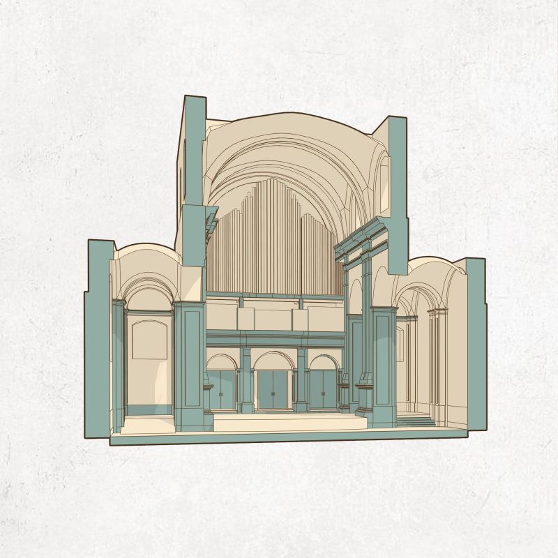
The hall occupies a church begun in the 1630s by the Dominican Order, one of the older architectural monuments in Lviv. The organ inside is among the largest in Ukraine, built in the early 20th century, and the geometry of the church gives the room the acoustics that made it a home for organ and chamber music. Today, the building works as a cultural hub of the city: organ and chamber concerts, experimental performances, literary evenings, and lectures.
The fabric still carries its Baroque and Renaissance detail: vaulted ceilings, stained glass, decorative mouldings, and frescoes across the interior. Some of that ornament was lost or damaged during the Soviet period, which makes a precise record of what survives more valuable, not less.
Why heritage geometry is hard to capture
A modern office building reduces to flat slabs, plumb walls, and repeatable elements. A 17th-century church does not. That difference is the whole job.
The nave is tall, and full coverage means registering scans across a large vertical volume without shadows behind piers, cornices, and the organ itself. The surfaces that matter most, the vaults and the ornament, are curved and non-planar. They do not map onto standard parametric families, so the geometry has to be rebuilt from the measured cloud rather than approximated from a library. And the interior is fragile, which is why non-contact laser scanning is the correct capture method here. Nothing touches the frescoes or the glass.
An idealised model of a building like this is worse than useless. Walls are off-plumb, thicknesses vary, floors and vaults have moved. A restoration team needs the real numbers, not a clean version of them.
From point cloud to a model you can work with
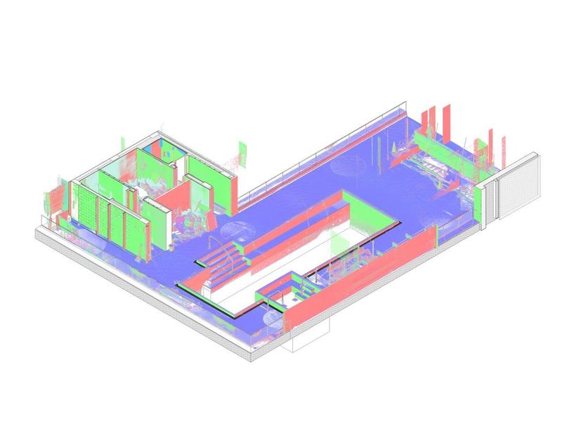
Our team reconstructed the geometry of the hall directly from a point cloud. In practice that runs in a few stages.
The scans are registered into a single coordinate point cloud, so every element sits in one accurate spatial reference. From that cloud, we rebuild the true geometry: the actual profile of a vault, the real position and thickness of a wall, the settlement the structure has taken on over time. Level of detail is set element by element, based on what the restoration will actually need, which for heritage work typically lands across LOD 200 to 400. Then the model is checked back against the cloud, so deviation stays inside a defined tolerance, and the result reflects the building rather than an assumption about it.
The output is a BIM model that a conservation architect, structural engineer, or MEP team can open and trust.
What an accurate as-built model unlocks
Once the geometry exists as a coordinated model, the restoration stops running on guesswork.
It becomes a single source of truth for planning: everyone works from the same measured reality instead of reconciling three incompatible sets of old drawings. Quantities come straight off the model. Structural analysis, MEP upgrades, and accessibility work all start from real conditions. And for a monument that has already lost ornament once, the model is a permanent digital record of the fabric as it stands, which matters for insurance of record, for phased conservation, and for anything that has to be rebuilt if the original is ever damaged.
Digitising a heritage building is not the end of its story. It is what makes the next hundred years of use and preservation possible to plan properly.
Working from real conditions
If you manage a heritage property or lead a restoration, and you need an as-built model you can actually build on, that is the kind of project our Scan to BIM team handles: point cloud capture turned into a coordinated, verified BIM model, at the level of detail the work requires.
See how the Scan to BIM service works, or send us the building and the outcome you are planning for, and we will tell you what a model of it would take.
If the first question is budget, our Scan to BIM price breakdown shows the hour ranges projects land in by size and LOD, and why heritage geometry sits at the top of them.